
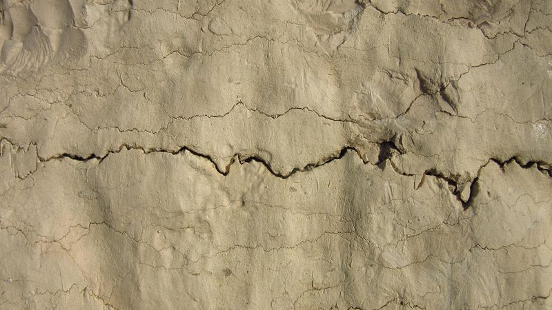
(1/2/2014) Yesterday I saw some coral remnants in the Muria mountain hills, located in Semliro hamlet, Rahtawu, Kudus. The coral still firmly stretches along the banks of Kali Gelis, extending for approximately 500 meters. Several shell fossils are still clearly visible, clinging to the hard, dull white rocks. Some were so strongly attached that we had to use a 'chisel' to pry them loose.
On that day, I, along with the UPN Jogja Geology team, planned to visit a place Alvian had promised. Not a simple place, but one that holds many stories. Stories filled with questions about how these coral rocks could rise to such high hills, when the coral began to move to the surface, and why some of these corals contain layers of lava, then coral again, and then more lava, forming the rock.
Isn't this an extraordinary event, when God shows His power by elevating the low (coral rocks) to be level with their (human) dwelling places? For those who observe wonders, this Masterpiece is an incredible work of art. These coral rocks that have risen to the surface are commonly called Limestone. It can form through organic, mechanical, or chemical processes.
Limestone can potentially form through these three methods. Shells of clams/mollusks, snails, foraminifera, algae, or other microscopic organisms that settle are the main materials for limestone formation. Regardless of theories that are difficult for me to digest. Because I am indeed not very knowledgeable about earth science and rocks. But through this journey, I came to understand and comprehend the "Bulu" formation on the geological map in Oscar's hand.
This "Bulu" formation consists of sandy limestone and argillaceous limestone, formed during the Neocene epoch, 5.2 to 10.2 million years ago. Oscar explained that there had indeed been previous research in the Muria region that mapped and produced this map. While still in the field, Alvian also provided some explanations regarding the presence of these coral rocks.
He said that every rock formed has its own story; they can tell long tales about the formation of a small stone found in the field. Starting from sediments that provide a rough overview of precedence, indicating which is younger or older. Sediments or rock layers above are younger than those below. For example, these coral rocks are layered with several lavas above them, which are then covered by more coral, then lava, and then coral again.
We couldn't precisely measure the number of layers there, as the upper part was covered by soil overgrown with bushes and some trees. However, the emerging coral-shaped limestone rocks still clearly retain their form and continue to show signs that they are coral-shaped rocks. This means that with the naked eye, I could understand that it was a coral mound near Kali Gelis.
Where, besides the lava layers, I could see several shell fossils still attached. Alvian said that this coral is a type formed in shallow to medium-depth oceans where sunlight can still penetrate and provide warmth to every organism living there. The coral also indicates that Muria erupted several times at different periods. As seen in the layers of rock formed.
Lava, being a hot flowing liquid, flows into the sea waters and settles on the coral; after the lava cools and settles, it becomes a fertile ground, and coral grows on top of it again. The process of the coral rising to the height of the Semliro area remains a mystery. Alvian has not yet been able to conclude what exactly caused the coral to rise so high.
Whether it was due to tectonic plate movements or other geological events. Alvian is still hesitant; he wants to understand it more deeply. Another story comes from breccia rocks created by "wedus gembel" (pyroclastic flows). They will have their own stories with the small pebbles clinging to them. Even breccia rocks can indicate that the area was close to the crater of a volcano that once erupted.
Despite the tiredness and exhaustion of that day, we also shared many jokes. Alvian often teased us, Oscar and me, calling us "Homo." "Damn it!"... it seems this kind of banter was common among them. But Oscar and I did 'agree' in a joking sense, hehehe. That majestic afternoon, when the sun was no longer too hot, white sand had also accumulated beside the coral rocks.
This was a remnant of yesterday's flood, which caused them to gather in one place. This made the atmosphere almost like a beach. Just missing a few surfers or women in minimal clothing sunbathing. Hehehe, why is my mind wandering? Sorry... the paragraph above was an intermezzo. If you cannot be an innovator, then be a follower so as not to fall too far behind.
Of course, being a follower should enrich our scientific knowledge. Regarding the study of the "Bulu" formation in the Muria region and the many expert opinions on the unification of Muryo Island (Muria) with Java, studied through historical records or earth science research obtained through in-depth studies providing valid data, which we can then freely read on the internet in this era of information overload, should we simply believe it?
Certainly not. Discovering their (evidence) research from experts directly in the field is extraordinary. Especially in an unexpected way. Like Alvian's story of accidentally finding limestone rocks; he was researching landslides and found the rock while tracing a river. The rock he initially thought was lava, because it was somewhat grayish in the north, unlike the southern part which still resembled black coral.
Alvian was surprised at that moment; he didn't expect to find such an 'item' even though he had read about the "Bulu" formation in the Muria area. It turned out that this serendipitous discovery became a gift to me when Alvian sent a short message saying he would bring shell gifts from Ratawu to MRC. Apparently, a mystery began to unravel: the position of the uplifted former seabed.
Regards, Wahyu Dwi Pranata Purwodadi